California’s 2022-2023 winter was nothing short of astounding. The Central Sierra Snow Lab recorded its second snowiest season since records began in 1946. Widespread flooding occurred over numerous days in 2023, and the reformation of Tulare Lake in the San Joaquin Valley threatens to flood entire farming communities.
Climate and atmospheric scientists, however, are beginning to turn their attention to the equatorial waters off South America. Climate forecast models are now locking in on the development of El Niño, a band of warm ocean waters that can have wide-ranging climatic effects across the world. This can result in heavy rains across California in winter, hotter temperatures globally and increased polar ice melt.
In the last three years, an unusual triple-dip La Niña occurred, where cooler-than-average water temperatures dominated the equatorial waters of South America for an extended period. In the early part of March, the Climate Prediction Center reported that La Niña officially ended and that El Niño-Southern Oscillation (ENSO) neutral conditions will occur through spring and early summer 2023.
Recent NOAA SST graphs have been showing ocean temperatures in the equatorial waters off the coast of South America that range from 7-9 ℉ above average, with below average sea surface temperatures off the California coast.

NOAA SST Anomaly chart for April 10th, 2023, courtesy NOAA.
Climate models are now honing in on the return of El Niño by late summer at the earliest. However, recent trends from models are suggesting that El Niño could arrive even earlier. NOAA’s latest report shows a 62% chance for El Niño to develop between May-July. The chances then exponentially increase as we head into the fall of 2023.

Probabilities of El Niño conditions, courtesy NOAA
With the onset of higher temperatures that are associated with El Niño by summer, this begs the question: What could California’s wildfire season look like?
The biggest guarantee is a large amount of fuel loading in valley and foothill areas. The amount of vegetation growth resulting from the rain and snow that California received is significant. However, the flora will inevitably turn brown at some point as temperatures begin to rise, rain storms become less frequent and dry spells begin to increase in longevity, conditions that are typical for California. With this additional sun, vegetation growth will accelerate as well.

Dense vegetation growth as a result of rain, Apr. 5th, 2023, Orland, CA, photo by Michael Steinberg.
For now, the Sierra and Cascade mountain ranges are still buried in snow, and it will take some time for that snow to melt completely then take even longer for the fuels to dry. In regard to finer fuels such as grass, it won’t take as long to dry and become a fire hazard. Valley locations, such as Chico, could start seeing more frequent grass and vegetation fires as early as June.
The 2022 fire season in California was one in which we dodged multiple bullets. Some of the more obvious ones included the lack of offshore wind events along with the unusually strong monsoon season in the summer and into early fall. Then, Tropical Storm Kay’s impactful rain in September, which brought season-delaying rains in September across California. Over 363,000 acres burned in California in 2022, well below the previous 5-year average of over 2.3 million acres burned. However, this average includes some of California’s most significant fire seasons.

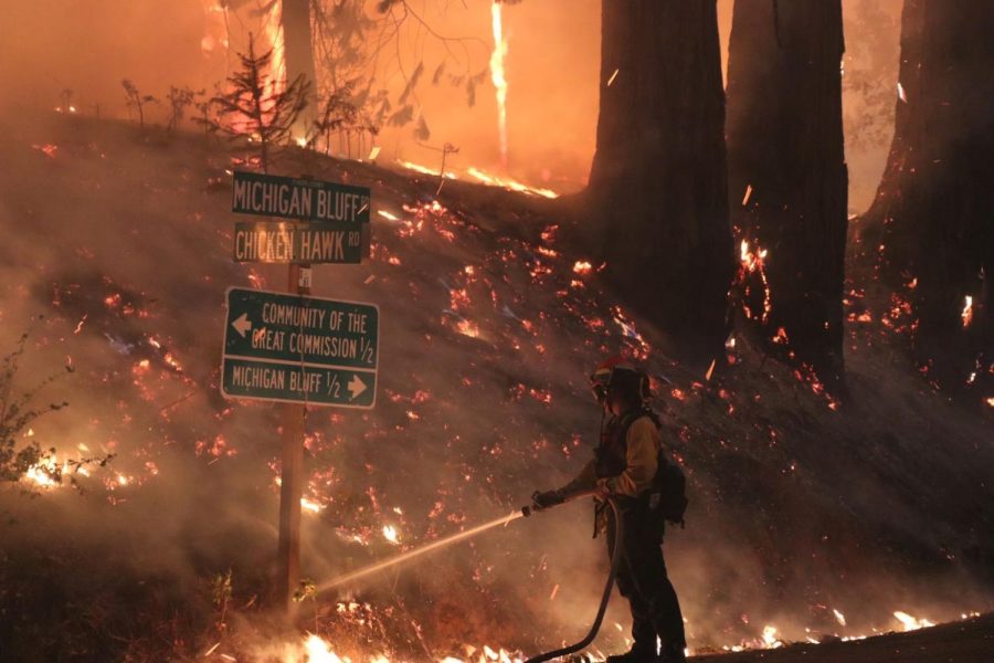
Firefighters watch embers fly at the Mosquito fire, Sep. 7th, 2022, photo by Michael Steinberg
The likelihood of another year like 2022 is fairly low. The early onset of rain in September, then in early November, ended the 2022 fire season, and the lack of offshore wind events like the Diablo or Santa Ana’s is unlikely to occur again.
The likelihood of offshore wind events, like the Santa Ana winds, could increase with El Niño. Research done by Scripps Institute of Oceanography found that in warm water years, Santa Ana activity increased. They also found that cooler water years, those of La Niña, produced fewer Santa Ana wind events. This research correlates with the lack of offshore wind events in the fall of 2022, as we had strong La Niña conditions.
The Northern Geographic Coordination Center’s, North Ops, four-month outlook paints a similar picture as well. The data indicates a late start to the Southwestern monsoon season. Their outlook shows below-average potential for significant fires in the Sierra for June and July, which coincides with the snow melt and green-up that still has to occur.

North Ops four-month significant fire potential map
These factors are all pointing toward a later season for significant wildfires. Fuels will have all summer to dry and cure, and the likelihood for offshore wind events will increase in September, October and November. These dry winds will further dry out any moisture left in vegetation as well.
However, the unknowns are still vast. How anomalously high will our summer temperatures be? How fast will our snow melt in late spring and early summer? With our winter following a similar path to 2017, which saw massive wildfires in California in the fall, could we see a similar year?
We are still a ways away from having to think too much about the threat of major wildfires, but the potential is lurking for another impactful fire season.
Michael Steinberg can be reached at [email protected] or
@MichaelWX18 on Twitter.